 OSRS Group
OSRS Group – Global Lattice Object Block Environment (GLOBE)
Planetary-Scale Metric Compute Fabric.
GLOBE Overview
GLOBE is OSRS Group's geospatial analytics platform for environmental, infrastructure, and critical utility monitoring, leveraging federated multi-tenant SaaS with temporal-spatial modeling.
Key Features:- Global-scale, distortion-free spatial lattices at any resolution.
- Microservices architecture on AWS for high-performance geospatial queries, edge-case handling like OT/IT convergence in defense/intel domains.
- Unlimited storage via S3 compatible object stores in cloud or on-prem.
- Secure identity management for non-profit/government collaborations.
- Interoperablility? Yes, with open-source GIS and ESRI... have another toolchain in mind? Let us know and we'll find a way to support it.
Value Proposition
Deploy GLOBE for precise risk assessment in utilities and critical infrastructure, scaling from small local-utility scale projects to commercial SaaS without vendor lock-in.
Technical Edge
Handles non-obvious cases like complex data type differentiation, optimized for hot-path queries, backed by any S3-compatible object store via the OSRS Group Object Block Environment (OBE).
Overarching Model
GLOBE supports multiple types of lattices and cell shapes, from the typical "pixel-like" rectangles, to hexagons and triangles all on a Caresian grid, to the real Global lattices on an Earth model, at the resolution you specify, everywhere.
And as always, all GLOBE lattices of all types, use sparse object storage in OBE. If you want a Lattice of a specific data type... just let us know, we'll make a type and serializer for it... or make your own for local hosting.
Utilities Domain
GLOBE powers lattice-based storage for critical infrastructure monitoring, integrating OT/IT sensor feeds with real-time hazard models like flood prediction. Edge-case handling ensures sub-second queries on petabyte-scale lattices for outage prediction and grid resilience in utilities. Scales seamlessly from regional co-ops to national grids without data silos.
Defense & Intel
GLOBE's lattice object store federates multi-source geospatial intel, supporting complex types to enable differentiation for dynamic threat assessment. Non-obvious optimizations manage hot-path API queries on edge deployments. Secure multi-tenant access supports multi-lateral operations.
Environmental
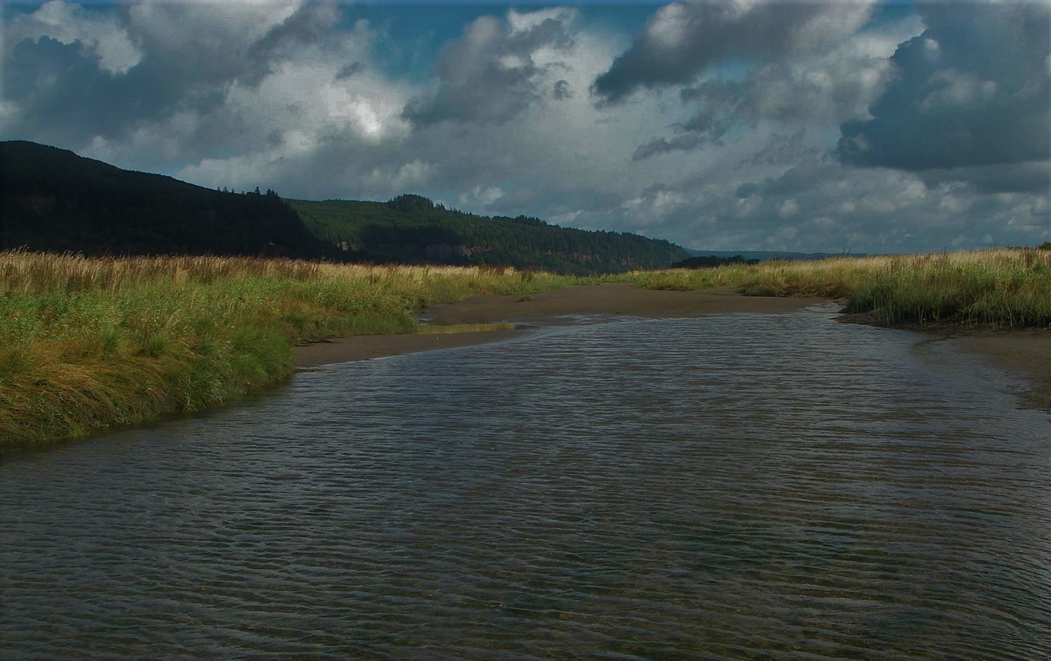
GLOBE stores global environmental lattices from open datasets, enabling precise modeling of population density impacts and ecosystem shifts. Handles edge cases like irregular sparse datasets without storage overhead, enabling global, cross-agency fusion. Optimizes for long-tail queries in climate resilience projects.
Government
GLOBE delivers a vendor-agnostic lattice store for public-sector geospatial analytics, from NASA-derived models to local permitting workflows. Microservices on AWS ensure compliance with FedRAMP-like standards, tackling non-obvious federation across legacy systems. Supports non-profit collaborations with zero-downtime scaling for election infrastructure or disaster response.
The Simulation Use-Case
GLOBE is a store for global-scale lattices for any use, but GLOBE is optimized for simulations.
The Problem: The "Geospatial Friction" Gap
Current global simulation and imaging platforms suffer from a fundamental trade-off: Topological Indexing vs. Metric Accuracy.
- Standard grids (H3, S2, Mercator) distort physical distances by up to 25% at high latitudes, forcing simulation engines to use complex "correction factors" that degrade performance and introduce physical artifacts.
- Real-time global data fusion is currently bottlenecked by massive spatial index databases and the computational "tax" of re-projecting rectilinear imagery onto non-linear simulation meshes.
The Solution: Project GLOBE
GLOBE is a first-of-its-kind Metric-First compute fabric that treats the WGS84 ellipsoid as a high-performance, deterministic address space. By unifying the geometry of the Earth with the logic of the cloud, GLOBE provides a 10-meter equidistant lattice that is simulation-ready out of the box.
Key Technical Pillars (The "GLOBE Edge")
- Deterministic Metric Walker: A proprietary coordinate generator that ensures every vertex in the global lattice is equidistant (approx. 10m) from its neighbors. This eliminates the need for spatial index lookups; the math is the index.
- Zero-Storage Sparse Architecture: GLOBE utilizes a "Zero-Storage" model where global defaults are implicit. Storage (S3/Object Store) is only allocated via sparse rectilinear patching when data deviates from the baseline, allowing for trillion-point resolution with a negligible storage footprint.
- Serverless Dispatch Engine: Simulation logic is dispatched via stateless Lambda-runners indexed to specific patches. This allows for infinite horizontal scaling—processing the entire planet’s surface in parallel.
- Temporal Double-Buffering: To overcome cross-talk and race conditions in massive parallelization, GLOBE implements a "Ping-Pong" buffer strategy. This ensures immutable read/write cycles, providing bit-perfect synchronicity across millions of independent compute nodes.
Impact & Agency Alignment
- Department of Energy (DoE): Provides a high-fidelity substrate for planetary-scale climate and energy-grid modeling, enabling the first "Digital Twin" of the Earth where the physics of fluid dynamics are not distorted by the grid geometry.
- NGA / Intelligence Community: Offers an "Edge-Ready" global coordinate system for GPS-denied navigation and autonomous targeting, where 1:1 metric accuracy is a mission-critical requirement.
- USGS / NOAA: Enables the seamless fusion of multi-modal raster data (satellite imagery, LIDAR) onto a uniform simulation mesh for real-time natural disaster modeling (wildfires, storm surges, flooding).